Politics & Government
How Accurate Are the State's Casey Arborway Traffic Projections?
Residents and politicians watching the design of the new Casey Arborway say the state still hasn't put to rest concerns about gridlock.

Some of the residents who pay the closest attention to the massive Casey Arborway project — JP's equivalent of the Big Dig — remain unconvinced the state's traffic analysis is accurate.
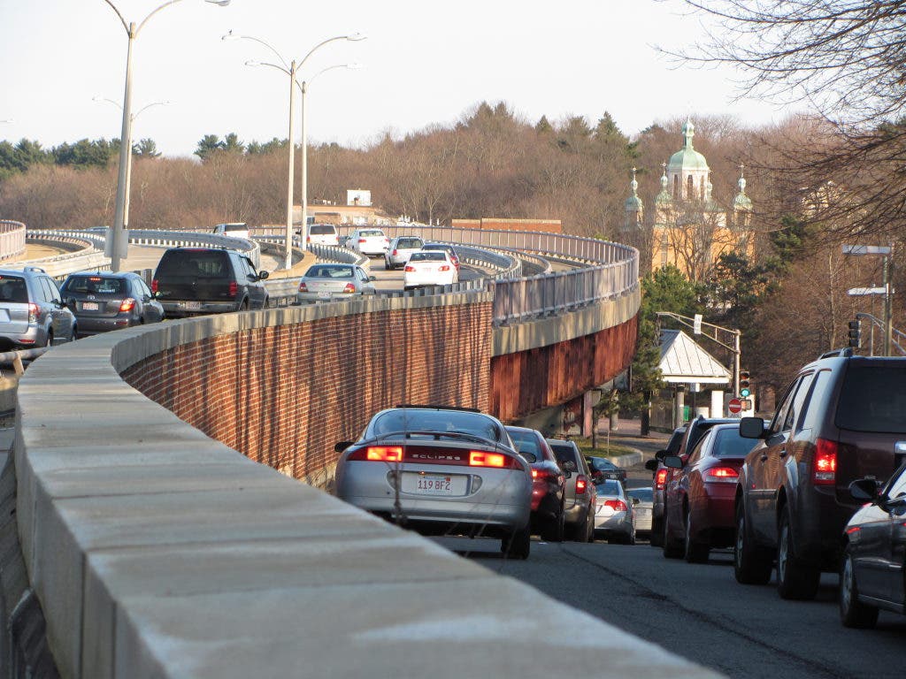
The most recent meeting of the Design Advisory Group with state transportation officials was supposed to clear the air about traffic concerns. The state plans to tear down the Casey Overpass, which handles 24,000 cars a day, and remake the area with a six-to-seven lane network of surface roads.
The state maintains that either of the proposed solutions — building a new, smaller bridge or the at-grade solution — .
Find out what's happening in Jamaica Plainwith free, real-time updates from Patch.
State Representative Russell Holmes, D-Boston, spoke for the unconvinced at the May 24 meeting. When Gary McNaughton of the State Department of Transportation urged those with doubts to "go to the Web site," for traffic information, Holmes pounced.
"That's the problem right there," Holmes said to the packed room at the State Labs on South Street. "I know you feel comfortable but I don't think you're hearing what the community is saying."
Find out what's happening in Jamaica Plainwith free, real-time updates from Patch.
Further doubts were sown upon revelation that skeptics had been forced to file a Freedom of Information Act request to get the detailed traffic data used by the state to inform their analysis.
The Gazette reports that the data from that request shows some intersections would work worse than the state's projections under most cases, though some intersections would actually be better than the state's publicly-announced conclusions.
"I’m not trying to be alarmist, but if we’re going to have an hour of gridlock, I’d like [the design team] to say we’ll have an hour of gridlock," Design Advisory Group member Allan Ihrer told the Gazette. "The ultimate goal is to figure out where there are problems and fix them if we can."
A key misstep by the state, according to Holmes, was deciding not to do a detailed analysis of current traffic conditions in Forest Hills. That means there's no baseline against which to compare the state's projections for traffic in 2035.
Transportation officials use a measure called "Level of Service" to rate traffic flow. It runs from A (best) to F (worst). For urban areas, D is considered acceptable, McNaughton said. If the state did nothing to change traffic patterns in Forest Hills, McNaughton said, intersections would be F into the future.
"You certainly have F out there today," McNaughton said.
The Gazette pointed out that the underlying data for the intersection of New Washington and Washington yields results in the D-E and F range for rush hour. Yet the state said publicly that the intersection would perform at level C at those times of the day.
State officials say the at-grade solution can handle all the traffic because of various improvements:
- Roads will be much more organized
- The lack of left turns will allow better spacing of traffic signals (people will change direction via "bow tie" turns in which you go past an intersection and loop back.)
- "Through movements" will actually be "through movements"
"The existing pattern is nearly impossible to synchronize," McNaughton said.
[Editor's note: The lede of this story was changed to reflect that fact that it is only some of the residents who most closely follow this project who doubt the traffic projections.]
Get more local news delivered straight to your inbox. Sign up for free Patch newsletters and alerts.